At-a-glance
Ferry tracking
See where our ferries are right now and watch them navigate coastal BC with our tracking maps.
To check that your sailing is on time, view departures & arrivals.
Last updated: 4:39 PM Thursday, Jul 23, 2026. Click to refresh
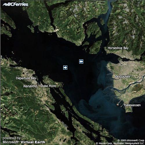
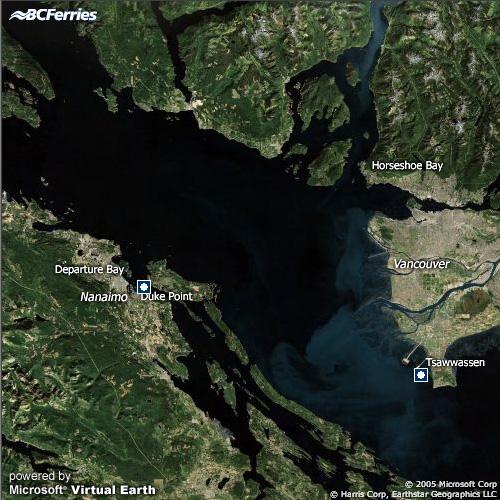
Metro Vancouver
Last updated:
Last updated:
Last updated:
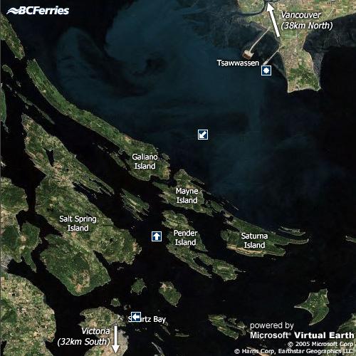
Last updated:
Last updated:
Last updated:
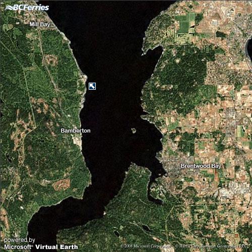
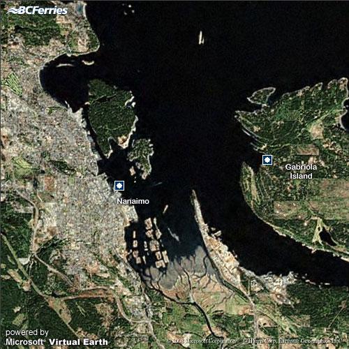
Vancouver Island
Last updated:
Last updated:
Last updated:
Last updated:
Last updated:
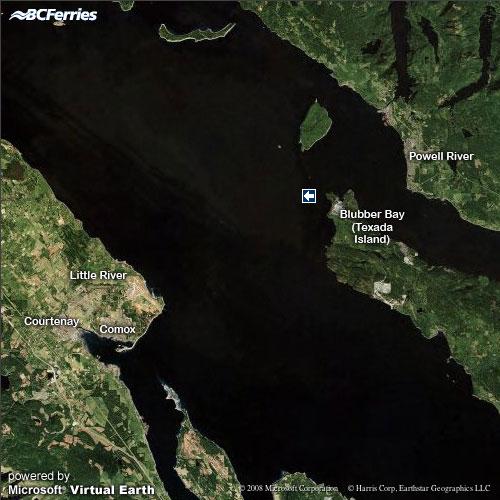
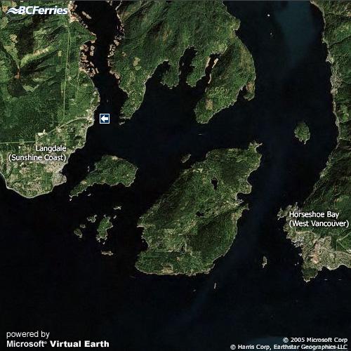
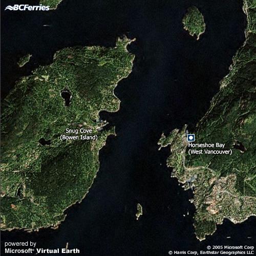
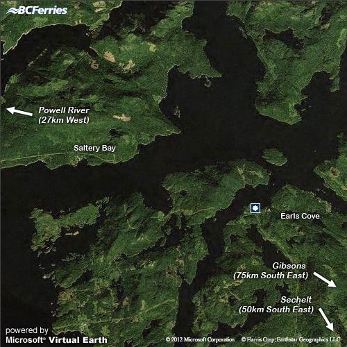
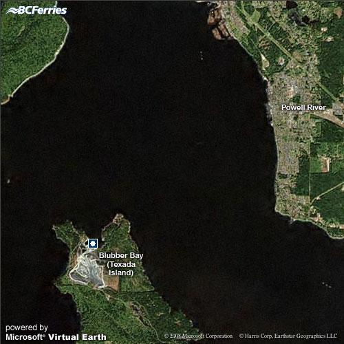
Sunshine Coast
Last updated:
Last updated:
Last updated:
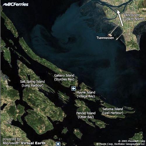
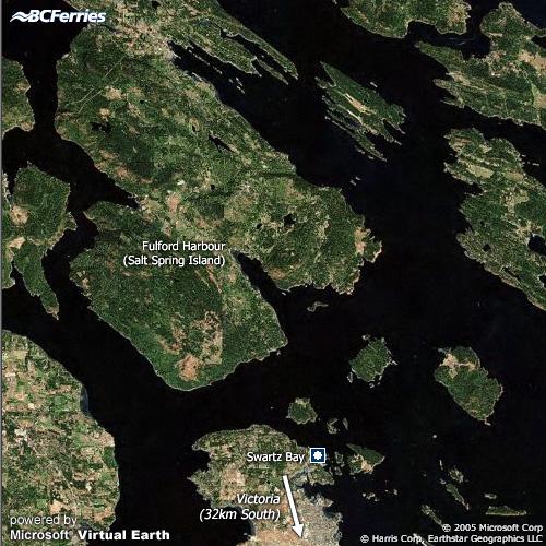
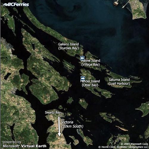
Southern Gulf Islands
Last updated:
Last updated:
Last updated:
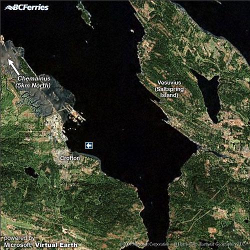
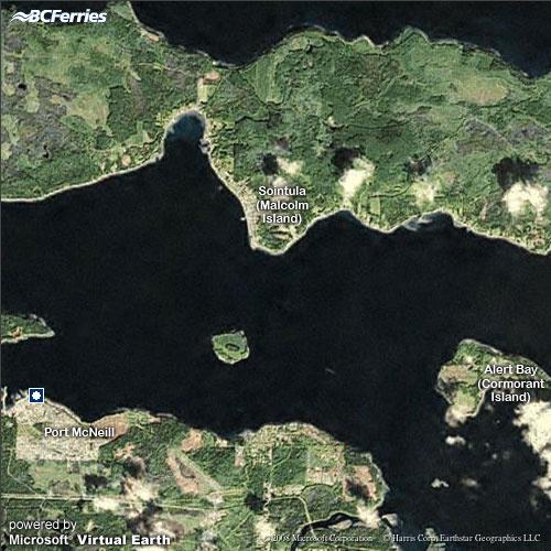
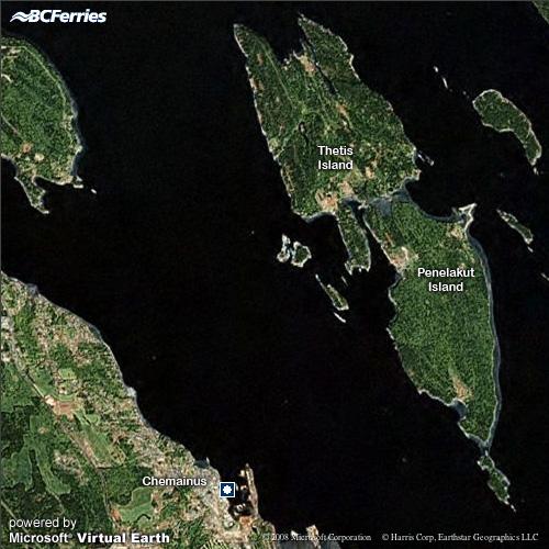
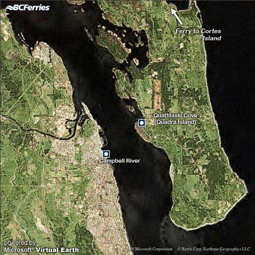
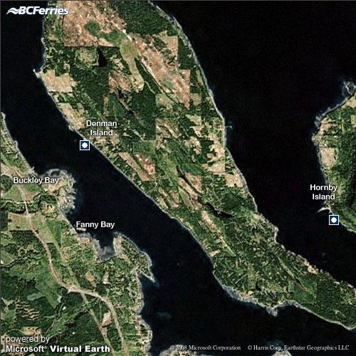
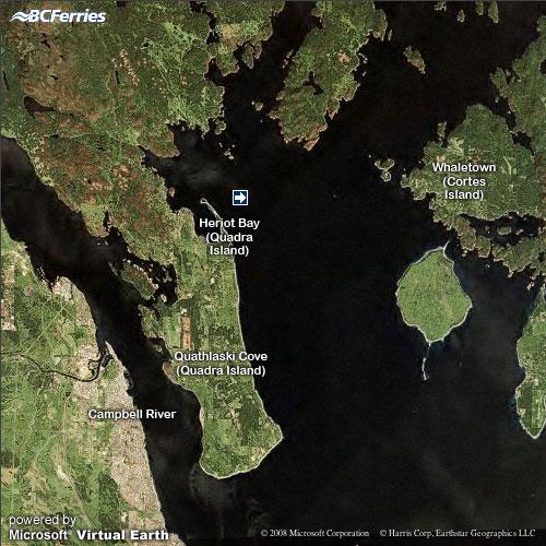
Northern Gulf Islands
Last updated:
Last updated:
Last updated:
Last updated:
Central Coast
Last updated:
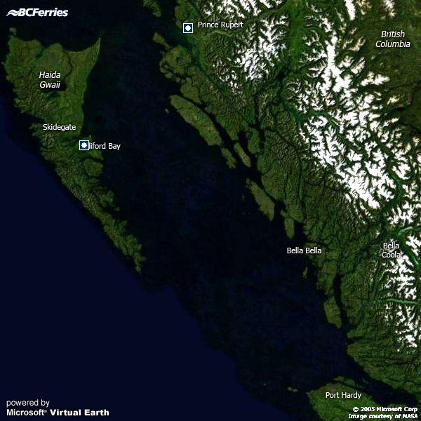
Haida Gwaii
Last updated:
At-a-glance pages
Sailing status by route
Ferry tracking